Most single family homes lasted just a few decades before becoming multiple family dwellings and/or businesses, such was the vortex-like growth of Manhattan’s population.
You can see the tracks of the Second Avenue railroad in the street. Horse-drawn cars ran south on Allen Street, west along Grand Street (below), and turned north up Second Avenue.
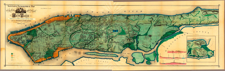
 Museum of the City of New York
And here it is today in the middle of Chinatown. All three buildings are still there, slightly modified.

That's awesome! Crazy how much a neighborhood can change. Maybe a post on the origin and growth of Chinatown is in order?
ReplyDeleteAbsolutely! I'm trying to figure out how to approach the whole area. Thanks for your comment!
ReplyDeleteCool find!
ReplyDeletePhenomenal. I just can never get enough of then and now photos, it's like an addiction.
ReplyDeleteBeautiful! Missing NYC.
ReplyDeleteGreat photos! According to the link below, the tracks may have extended on Grand St. all the way to the East River where they met the Grand St. Ferry:
ReplyDelete"The tracks had been part of The Forty-Second Street and Grand Street Ferry Railroad, a 19th century horse-drawn streetcar line which began operations in 1862, extending from the 42nd Street Ferry on the Hudson River to the Grand Street Ferry on the East River."
http://home2.nyc.gov/html/nycha////html/resources/work_begins.shtml
More research turns up additional streetcars that ran on Grand St, including one that went from City Hall to Brooklyn (over the Williamsburg Bridge). It ran on Bowery, Grand St, Essex St, and Delancey St. It was called the "Post Office Line." http://en.wikipedia.org/wiki/List_of_streetcar_lines_in_Manhattan
ReplyDeleteThanks for the complete picture, Randy! I had looked up that part of Grand Street in The Historical Atlas of New York City, Eric Homberger (1st ed. p. 99), to see what he had to say about the area. If you look at the map on that page, from 1865, he has the Second Avenue railroad running down 1st, across Grand, and up 2nd. It was obviously part of a much more extensive system. Thanks again!
ReplyDeleteAfter a passage of time, everything gets change. As you have shown both the pictures of Grand Street, there is a lot of difference between both. Really very nice.
ReplyDeleteAnyone know where I can find a photo of a milliner (hat maker /seller) working on The Grand around the 1840s?
ReplyDeletecavapoo puppies for sale
ReplyDeletecavapoo puppy for sale
cavapoo for sale
Cavapoo Puppies For Sale Ohio
cavapoo puppies for sale in ohio
Cavapoo Puppies For Sale in pa
Cavapoo Puppies For Sale California
Cavapoo Puppies For Sale New York
cavapoo puppies for sale in new york
Cavapoo Puppies for Sale in Texas
cavapoo puppies for sale near me
cavapoo for sale near me
cavapoo dog
cavapoo dog